Publication Maps

About

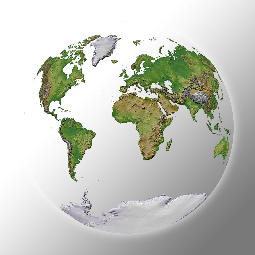
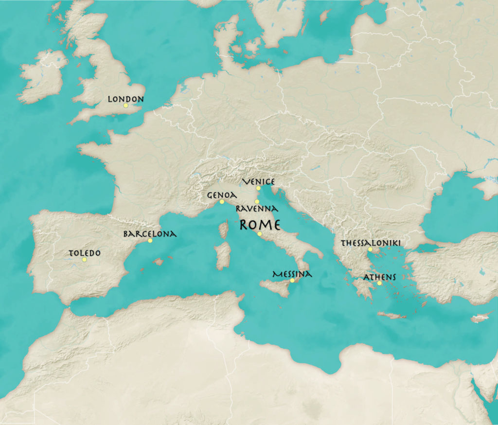
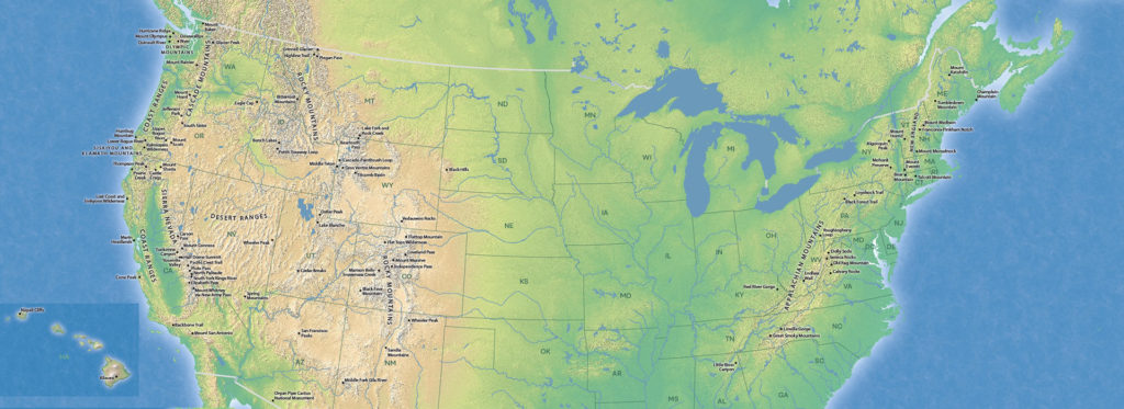
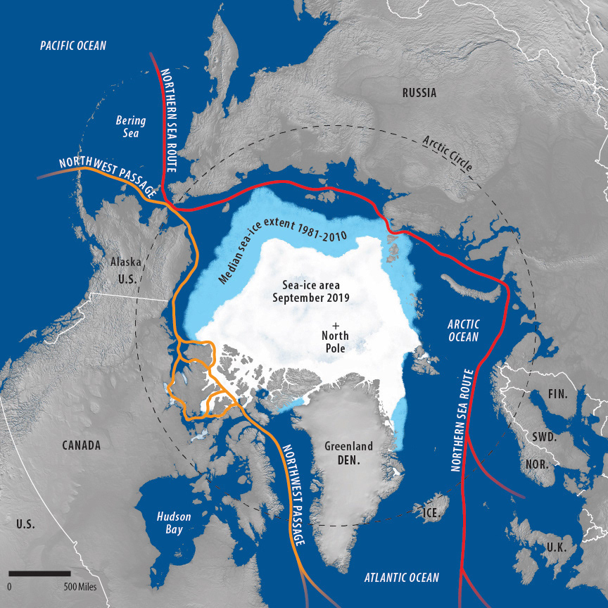
Print and web publications need clear, colorful maps. Their purpose: attract and illustrate. Our publication maps are made for coffee table books, textbooks, visitor guides, and hiking books.

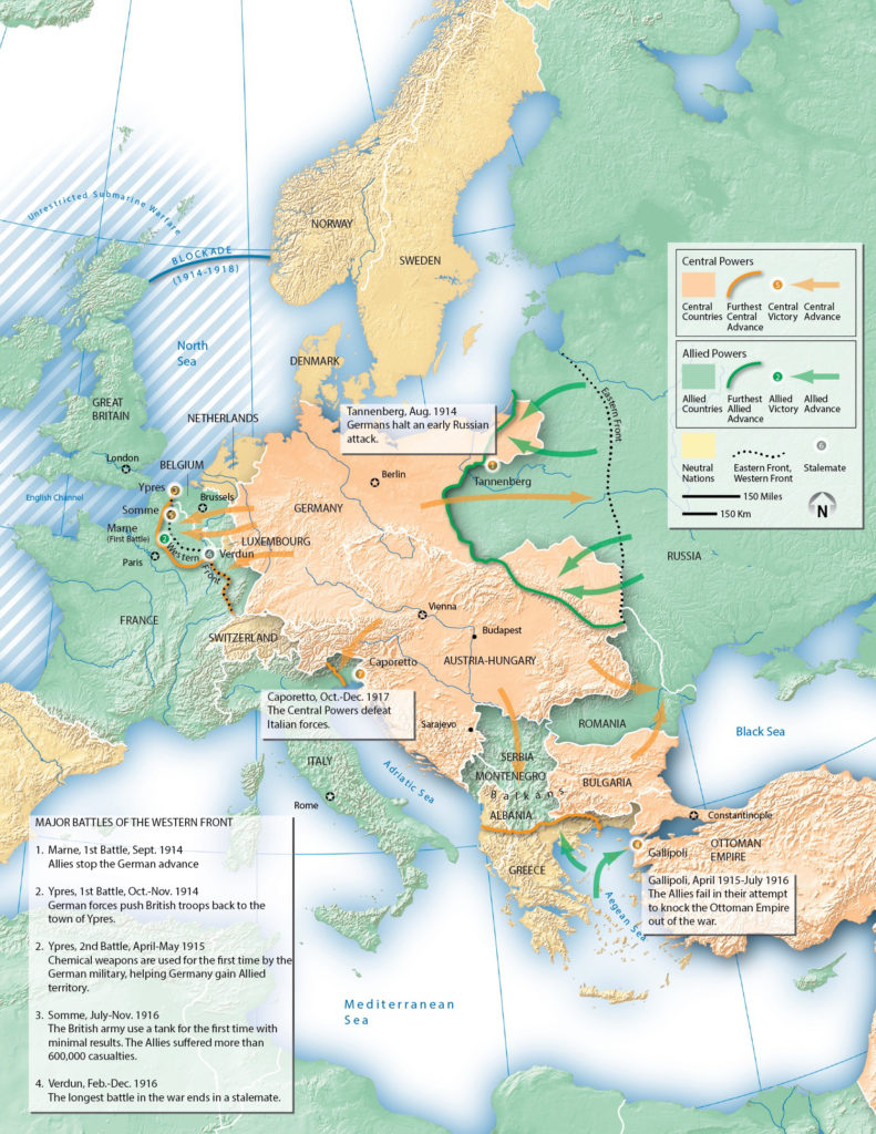
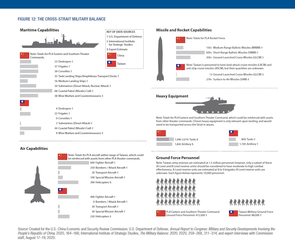
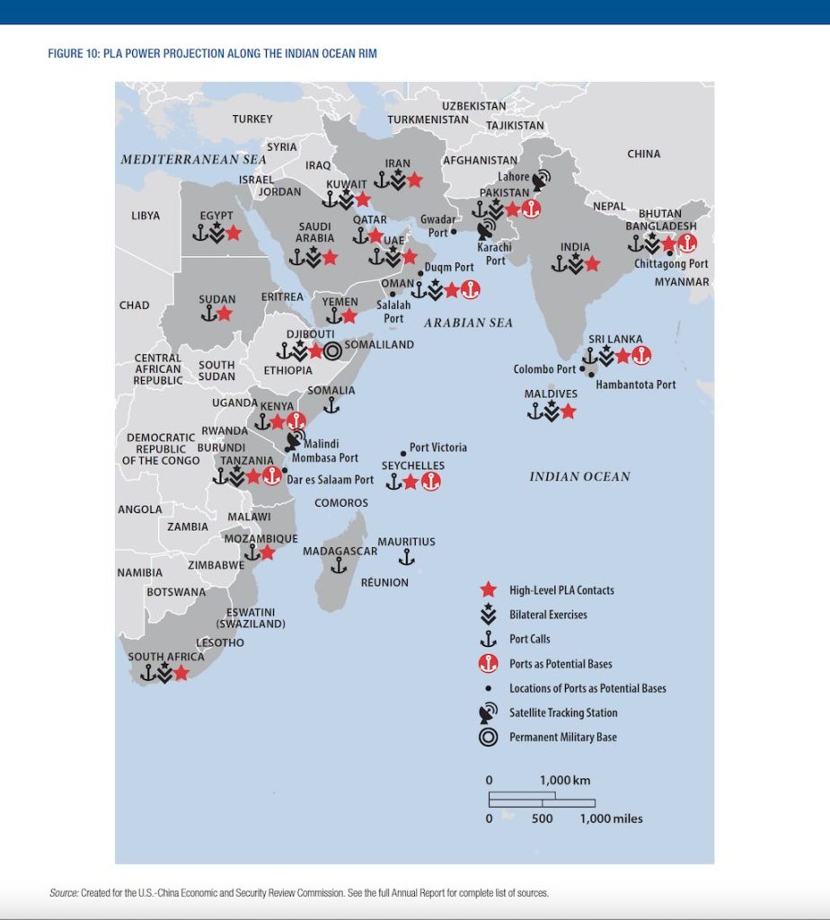
One of our specialties is geo-political maps. These maps and graphics focus on economic, military and security topics for government commissions.

Basemap of Europe in an artistic, ancient-appearance

Illustrative map designed for a tour guide to old Europe

Rizzoli Publications' Great Mountain Trails book by Tim Palmer

Rizzoli Publications’ Great Mountain Trails book by Tim Palmer

Harcourt's textbook map of WWI Europe

Harcourt’s textbook map of WWI Europe

Arctic sea-ice map with terrain image and painted ice for USCC report

Arctic sea-ice map with terrain image and painted ice for a report for the U.S.-China Economic and Security Review Commission

Graphic of the Taiwan-China military balance from the U.S.-China Economic and Security Review Commission

Taiwan-China military balance from the U.S.-China Economic and Security Review Commission (2020 Report to Congress)

Indian Ocean military map from the U.S.-China Economic and Security Review Commission

China military power in the Indian Ocean from the U.S.-China Economic and Security Review Commission (2020 Annual Report)

Get a Quote

We’re happy to create a custom quote to make your map.