• Skip to main content

Cartagram

We Make Custom Maps

  • Blog
  • Quote
  • Contact

Google Maps

Aug 01 2016

From Excel to Google Maps

An address map is a valuable way of representing points of data. We’ve been asked to create membership maps for organizations. A request by a church to make a map showing church member addresses inspired us to write up this method of making an address map.

Google Map’s Your Places is an easy and free portal to seeing your spreadsheet data in an online map. While there are more involved ways of accomplishing this, including linking an online version of your spreadsheet data “live” to Google Maps, let’s explore the simplest way of mapping your Excel data.

(Note that some of the menus and names of interface features change when Google decides to update this service.)
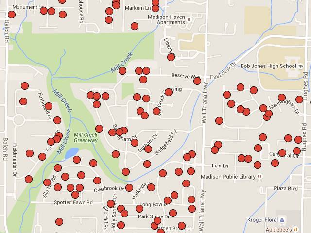
Custom Google Map of church members

[Read more…] about From Excel to Google Maps

Written by cartagram · Categorized: Google Maps

Nov 06 2015

Google Maps as the Crow Flies

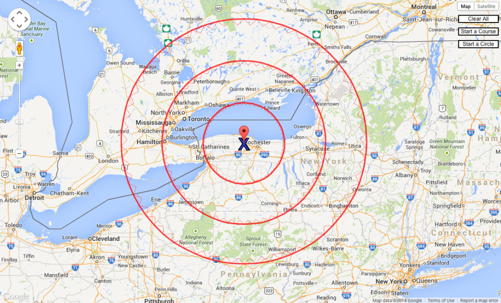
Google Maps has a scale bar at the bottom of the map. When you need to measure a distance horizontally, the scale works well. But at another angle, you’ll have a challenge using it. Instead, easily create radius rings around a point of interest. That makes it simple to measure distances in any direction.

A common request of mapmakers is to show radius rings in various distance increments.

SHOW DISTANCES GOOGLE MAPS

Combining Google Maps with radius rings can give a client a quick look at how much area, or what cities, will be included within the rings. You can quickly produce a radius rings map image at http://www.acscdg.com.

Google Maps image with radius rings on map

[Read more…] about Google Maps as the Crow Flies

Written by cartagram · Categorized: Google Maps

Copyright © 2021 by Cartagram, LLC. All text and images are copyright by their respective owners.